Past adventure.
ADVENTURE REPORT
Pictures & videos describe this adventure better than words. We embraced the wet, we bought out the puddle jumping water sloshing inner child in us, and we created adult memories.
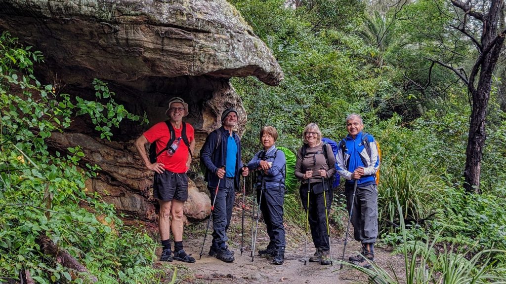
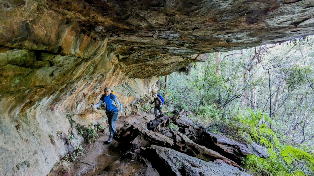
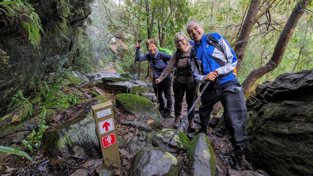
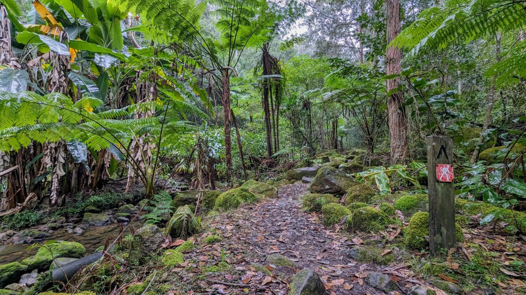
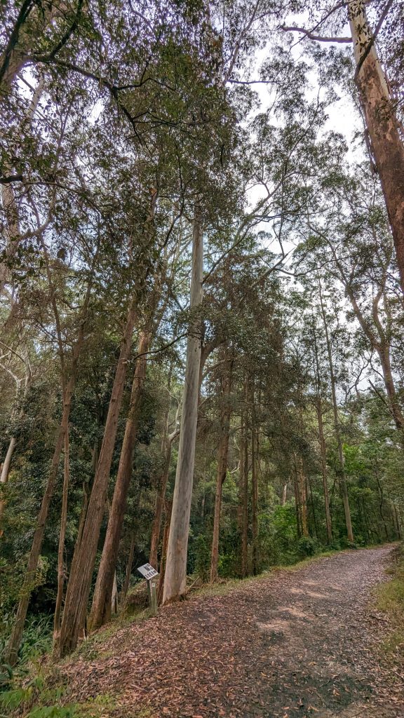
Although the track was very wet in places, between these aquatic obstacles there was a beautiful meandering track. We were dwarfed by towering sandstone cliffs and boulders, swallowed up in huge overhanging caves, and in awe when we looked up at towering gum trees reaching for the sky. Normally babbling brooks had turned into noisy torrents.
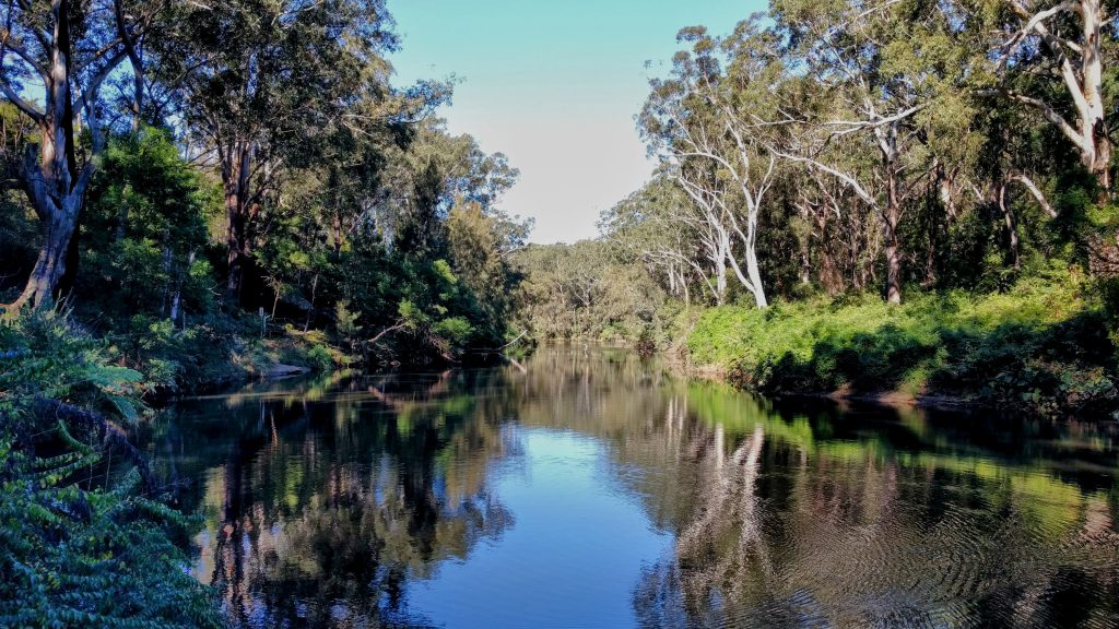
Sometimes we were beside and level with the Lane Cove River, other times we were walking high up above it on narrow bush tracks. At one point we glimpsed a distant churning river rapid, an unusual sight on the normally docile river. The day before on my check walk the river water was quite clear, but now it was muddy brown as it drained the runoff of the whole valley. At the start this mighty river was wide and majestic, but as we walked almost to its source it had dwindled into a small stream.
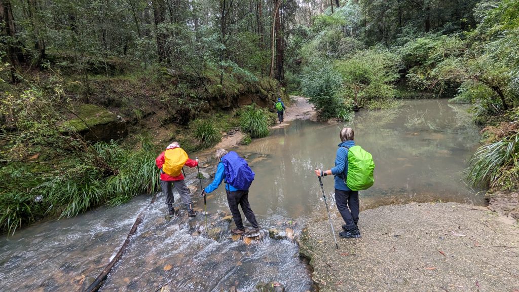
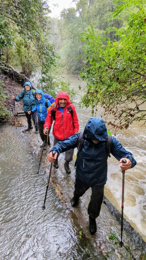
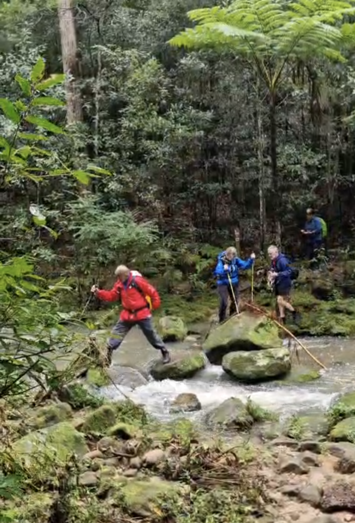
Nine water crossings dampened our shoes but not our spirits, even passing through a large waterfall shower was tackled with gusto. Wanting to get in on the fun, a few malnourished leeches got on board and joined the hike too.
Despite the wet weather forecast, it probably only drizzled for about half an hour, and we only had one heavy downpour for less than 10 minutes.
This adventure was some 15km long and we crossed no roads. It was action and scenery packed, and it was all in the heart of Australia’s largest city !!!
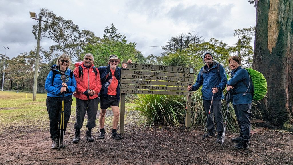
Fantastic job Michelle, Bruce, Carlene, and Shane. No doubt you enjoyed your warm showers afterwards !!!
Until next time, Yours in adventure Nick
DETAILS
A continuation and stage 2 of the Great North Walk. It’ll be a 14.5km bush walk and take about 5-6 hours. We’ll be in the Lane Cove National Park most of the time in Sydney’s inner north west and will follow the Lane Cover river almost to it source.
It is a one way walk so public transport or a car shuffle is required before and after.
ADDED Sun 09-Jun …
Bring your hiking poles and be prepared & expect to get wet feet in some spots due to recent rains. Lots of puddles & some high creek flows. Also don’t forget to bring snacks to eat along the way. Hopefully we’ll finish in time for lunch at a nearby establishment for those interested.
For those coming by public transport (from Chatswood) … meet at the start here at 8:45am.
CHANGED Fri 14-Jun …
For those coming by car (or public transport to Thornleigh) … meet at the entrance to Aldi here at 291 Pennant Hills Rd Thornleigh on the corner with Station St at 8:30am. Free untimed parking is available underneath Aldi (enter via Station St). Tap the meetup button below for directions. Once we’ve gathered, we’ll car pool to the start.
For those wanting a caffeine fix in Thornleigh whilst waiting, there is the Curl the Whisker Cafe. Open from 6:30am.
For those coming by car (or public transport to Thornleigh) … meet at the finish here at 8:30am and we’ll car pool to the start.
Please indicate in your registration …
whether you’re coming by public transport or by car.
ADDED Sun 09-Jun …
Short course options: There are many exits leading into nearby suburbia along the route if you want a shorter course. The most convenient one is about 5.5km in. From there it’s a 1.4km walk to North Ryde train station.
Our route on Komoot (aka. Deidree’s directions).